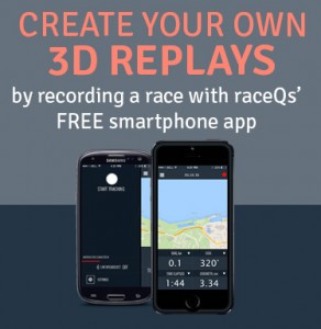
Will Paxton uses raceQs' Groove Analysis, Tacking Data, and Geovids to analyze his winning performance at the Resin Regatta. He makes a few discoveries about his sail trim and tacking patterns using footage from his GoPro that is synced with his raceQs' 3D Replay.

Do you love boating as much as we do? You’ll get even more enjoyment this year with Navionics Boating, the best app for on-the-water activities from the leader in location-based services! Download the app for FREE on iPhone, iPad or Android! Open to begin exploring on government charts for the US, included for free on iPhone and iPad and soon on Android. Then start to plan your routes, measure distances, or check wind forecasts. Record data during your next outing – tracks show the distance, speed and duration of your trips. Add markers to key fishing areas you want to target or tag the spot where you landed the big one! You’ll be able to save your routes, tracks, markers, and photos to share with your friends on Facebook, Twitter, or via email. At any time, purchase the chart coverage area you need for anywhere in the world, and get the same detailed charts found on plotters. Then access a boatload of georeferenced content including the largest database of POIs, in addition to valuable contributions made by other users in Community Edits ranging from hazards and temporary nav aids to prime fishing spots and more. Get the most out of the app by tapping into great advanced feature upgrades available In-App. On iPhone, iPad and Android transform the map’s display with Advanced Map Options. Or get detailed route planning, a suggested course for a trip, map updates and incredible HD bathymetry maps for iPhone or iPad! Download Navionics Boating now, it’s FREE!


Come Hang Out With Us


Matt Bismark said on March 8, 2019
The compass overlay is probably the best analytical tool for BOATHANDLING optimisation I have ever seen. Thank you!!!!